
Environmental science paved the way for Airbus UK to secure a £192 million contract from the European Space Agency to build the BIOMASS satellite.
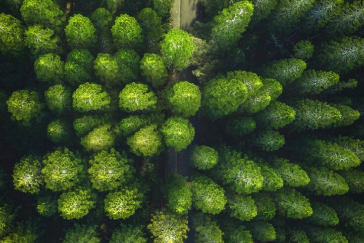
The satellite will, for the first time, map how much carbon is held in forests, providing data vital for monitoring how deforestation and reforestation are affecting the global climate.
Using radically new technology, BIOMASS will create 3D maps of the world’s forests, measuring the weight of the wood held within them and the height of the trees, as well as making an accurate map of the terrain they are standing on. These observations will provide new information on deforestation and its reduction to other UN-supported programmes.
A crucial factor in the mission was identification of the perfect ‘Goldilocks’ wavelength. NERC funding was critical in identifying how to prevent the ionosphere destroying the measurements. The waves identified were just right to measure the biomass of trees, while avoiding disruption of the data caused by an atmospheric layer called the ionosphere.
The satellite will offer unprecedented insight into the changing state of the world’s forests, allowing key beneficiaries within tropical forest countries to benefit from financial support to better manage their forests.
Last updated: 15 November 2021